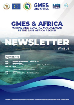
GMES and Africa: 1st issue of the MOI-GMES East Africa Consortium newsletter
This edition contains different articles on usage of the GMES and Africa - Marine and Coastal Service data and products by students, fishers, local authorities and researchers in the field of marine science
In their editorials, the MOI's Director and the Secretary General of the Indian Ocean Commission deliver their views about the impact of the GMES and Africa Programme in this geographical area.
The featured article describes the work that is being undertaken by MOI's partner in Tanzania to bring technology to the fishermen community, reduce fishing efforts in inshore waters and, help fishers to venture offshore where there are profitable fishing areas.
Over the past months, TAFIRI has for instance developed a public-private partnership with the fisherman community. Fishers have benefited from GPS, mobile phones and training for locating fishing ground and collection of fish catch data. On the other hand the Government side is benefiting from geo-tagged fisheries information provided by the fishers for validation of the information captured through satellite technology.
A focus is made on the use and dissemination of GMES and Africa data in Madagascar and also how to track oil spills by using Copernicus Marine Data.
This newsletter also points the three online regional training delivered by MOI Use of EO data to support Marine and Coastal Applications, Use of eStation for generating PFZ maps and Bulletin Charts, 3 days Marine Forecasts.
More


Comments
Post a Comment