GMES and Africa Training: JRC Webinar on Mobile App (eStation), 12 Oct. 2022
In order to facilitate a better reach of the end users, the JRC has developed a mobile app for making the eStation datasets accessible from a mobile phone, on both Android and Apple OS. The main goal of the Webinar is to present to the GMES and Africa community the prototype, and discuss with the interested institutions on its customization and further development.
Increasing the outreach and impact of the services implemented under GMES and Africa by the African consortia is one of the main goal of the second phase of the program.
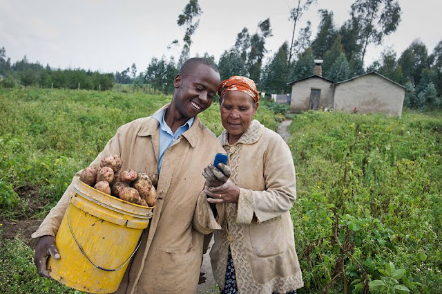
In this respect, the mobile application to be run on cellular phone offers a strong potential of reaching the final users of the services, the last mile, a potential that was never reached before, in a smooth and timely manner. 60% of the African population will never access the technological means that are needed to process satellite images. But they can easily and directly be reached through mobile applications...
Specific objectives of the Webinar
- Present the prototype implemented by JRC and the underlying technologies (vue.js, nativescript, Mapbox, WMS, …)
- Describe how the code (open-source) of the application can be shared with interested Institutions, for appropriation.
- Discuss on the possible evolution of the application, beyond the current raster layers visualization, with additional features (calculation of spatial aggregated statistics over time series, provision of on request high-resolution images, …)
- Introduction
- Presentation of the prototype
- Possible evolution of the app (vector-files overlay, timeseries, …)
- Technical overview
- Implementing technologies (VueJS, nativescript, Mapbox
- Server-side implementation (eStation server, WMS services)
- Way of delivering the app:
- As final application
- Possible regional customization
- Sharing and re-usage of the code
- Q&A and discussion on the way forward
More information
- The Concept note
- About the JRC's eStation


Comments
Post a Comment