Gear Up for Impact: Transform Wetland Management with WeMAST Phase II Training
The Southern African Science Service Centre for Climate Change and Adaptive Land Management (SASSCAL) is hosting this week the WeMAST Phase II End User Training Workshop to empower wetland managers and policymakers with innovative tools for sustainable wetland management.
The Okavango River (c) ESA - An area covering northern Namibia and southern Angola is pictured in this Kompsat-2 image. Running across the image, the Okavango River forms the border between Namibia to the south and Angola to the north.
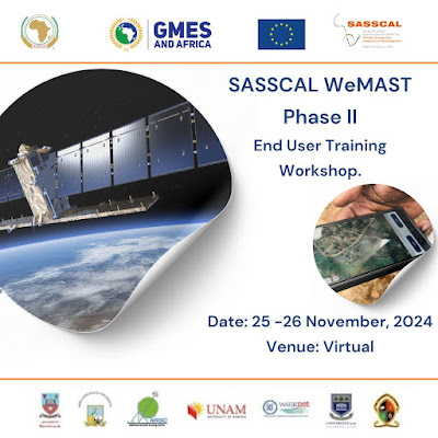
This virtual workshop, scheduled for 25–26 November 2024 from 3:00 PM to 6:00 PM UTC+3, will focus on the WeMAST 2.0 geoportal, QGIS plugin, mobile applications, and Mapographics policy briefs. These tools are designed to streamline data collection, monitoring, and policy support for wetland management.
Participants will gain:
- Enhanced skills in field data collection and validation using mobile apps.
- Knowledge to leverage the geoportal for ongoing wetland monitoring and decision-making.
- Insights on using Mapographics as actionable policy tools for sustainable wetland management.
This training supports the GMES & Africa programme, a joint initiative of the African Union and European Union, and aims to strengthen local capacities for leveraging Earth Observation-based solutions.
Target audience includes government officials, water and environmental authorities, researchers, NGOs, conservationists, and women in natural resources management.
To register: https://events.teams.microsoft.com/event/ab84ea32-945e-4bbb-9cc7-d2d956730076@7aa782da-1011-4a48-ae53-fd072c461921
Okavango Delta, Botswana (c) ESA: Envisat's Medium Resolution Imaging Spectrometer (MERIS) instrument acquired this image over Okavango Delta area, Botswana, on 2 July 2006. The image has a width of 574 kilometres.


Comments
Post a Comment